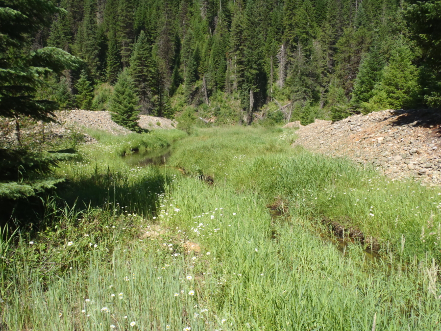
Berms created from placer mining.
Project Summary
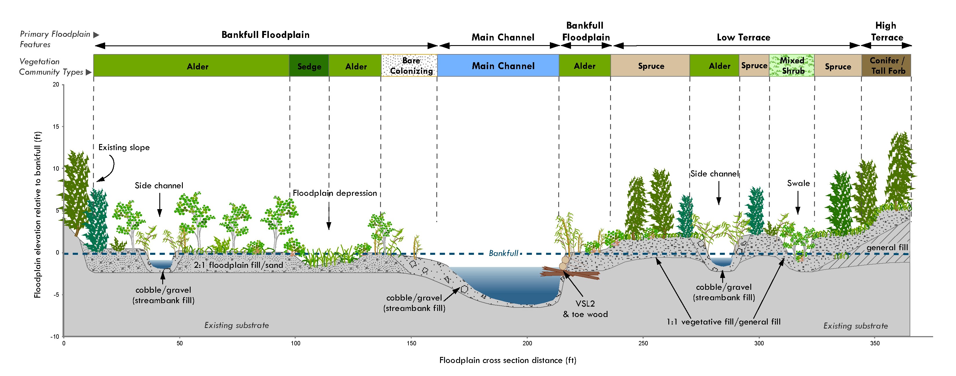
Between the 1930s and 1950s the lower Crooked River Valley was heavily impacted by dredge mining leaving behind large tailing piles and deep ponds throughout the valley bottom. These physical changes to the valley bottom altered stream and riparian processes, and have affected aquatic and terrestrial habitat conditions, resulting in degraded ecosystem conditions relative to historical conditions. The Nez Perce Tribe and U.S. Forest Service Nez Perce National Forest are leading efforts to improve ecosystem conditions in the South Fork Clearwater Subbasin and rehabilitation of the lower Crooked River Valley is part of that effort. Between 2012 and 2013, Geum teamed with River Design Group Inc. and TerraGraphics Environmental Engineering, Inc. to develop a restoration and rehabilitation design for the lower two miles of Crooked River. The desired future condition for the Lower Crooked River is a more natural landscape that maximizes ecological site potential by restoring native riparian plant communities, providing preferred habitat for native aquatic and terrestrial species, and by establishing sustainable river and floodplain morphology. Construction of the project has not yet started.
Services that Geum provided for the Crooked River Valley Rehabilitation project include:
- Vegetation community assessment including vegetation cross-section composition, greenline composition, and woody species regeneration
- Native materials inventory and report
- Wetland delineation and report to identify jurisdictional wetlands and support project permitting
- Floodplain, wetland, and riparian design criteria
- Revegetation treatment design
- Developed several sections of a final design report, final design drawings, and technical specifications

