Portfolio

Crooked River Valley Rehabilitation – Elk City, Idaho

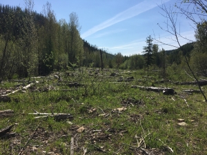
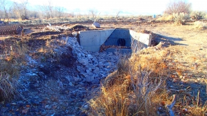
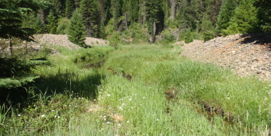
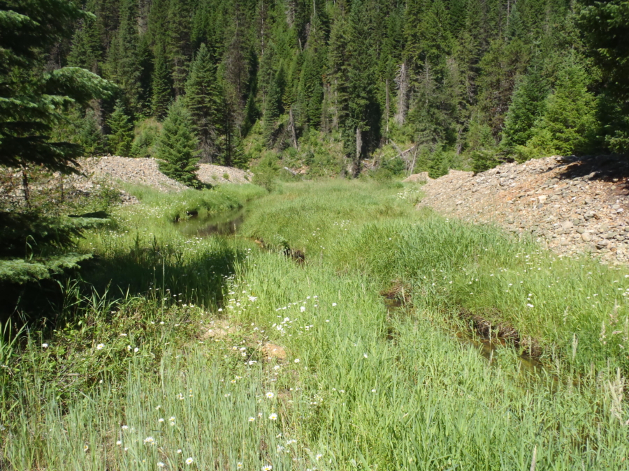
Berms created from placer mining.

Project Summary

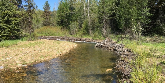
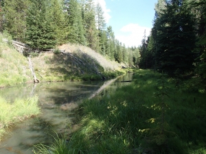
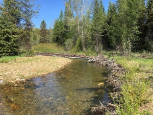
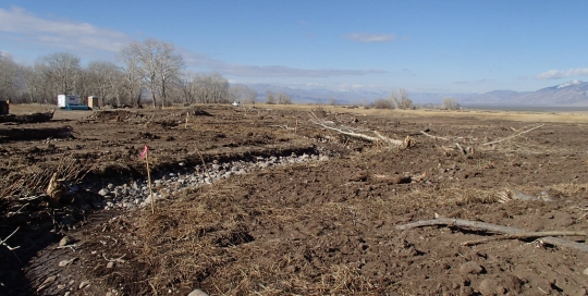
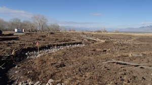
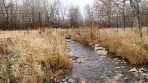
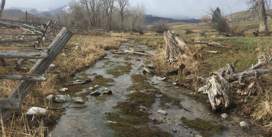
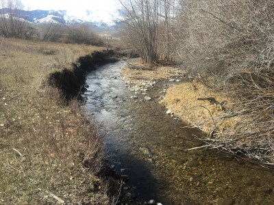
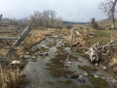
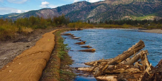
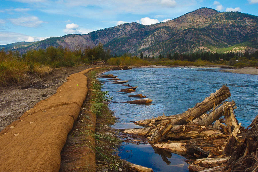
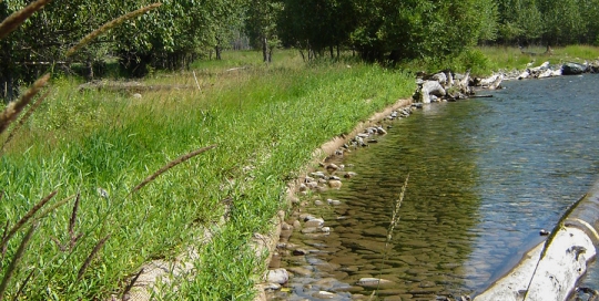
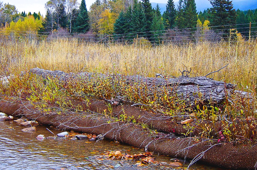
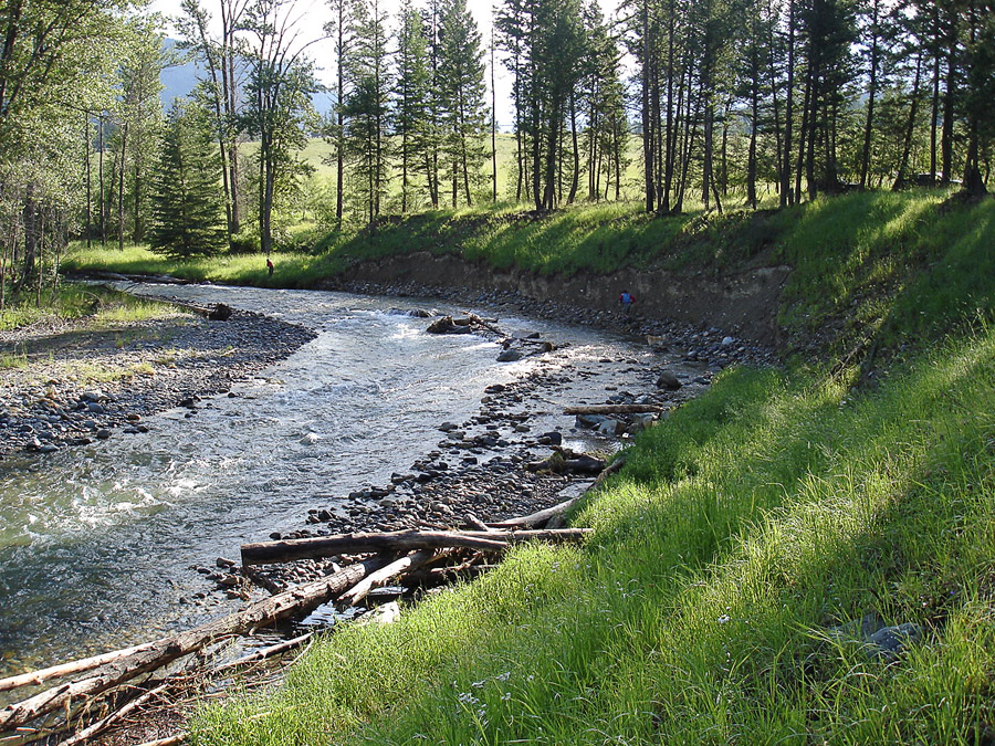
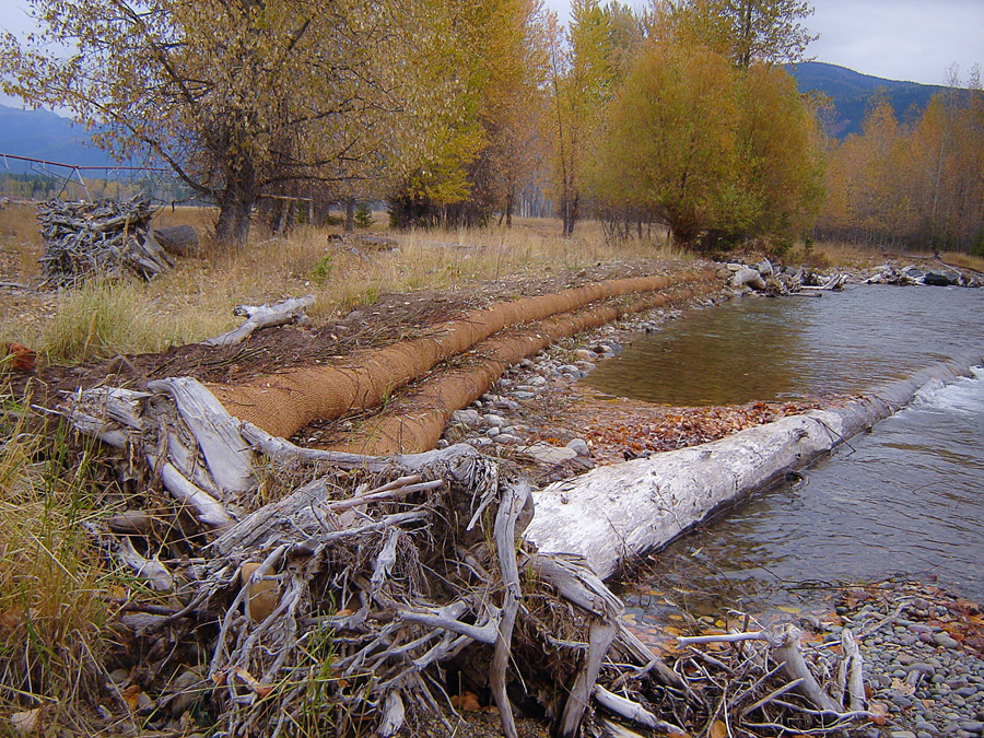
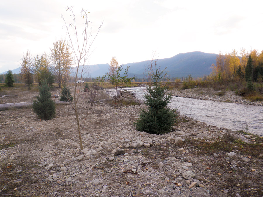
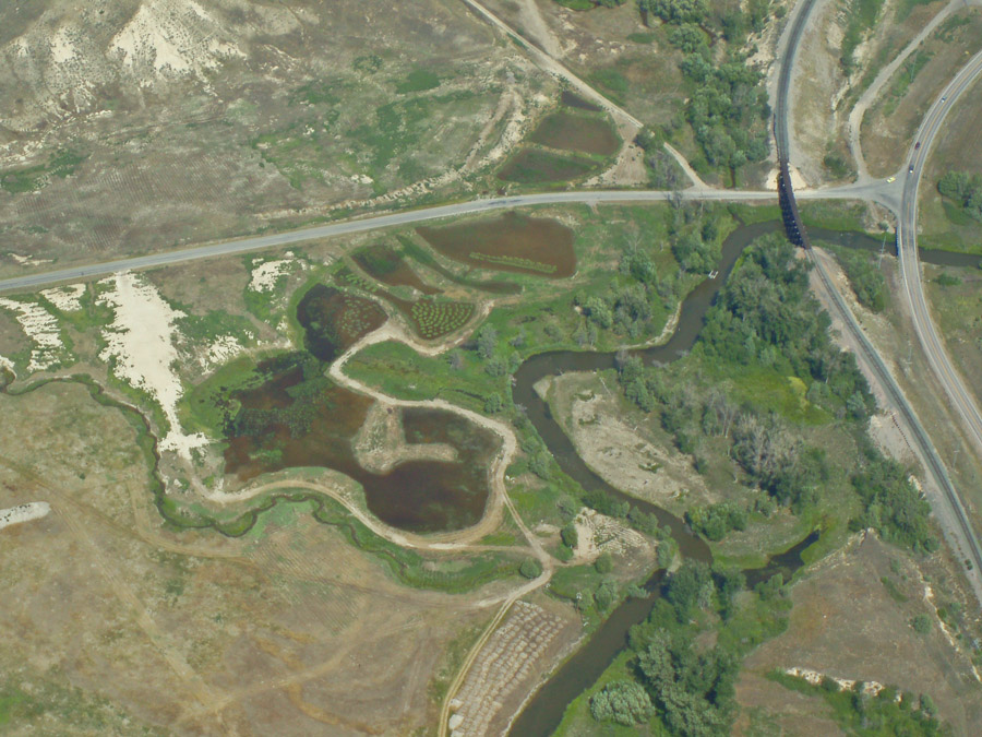
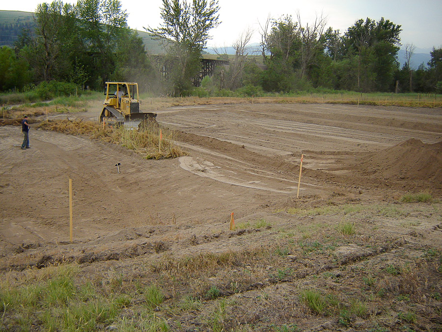
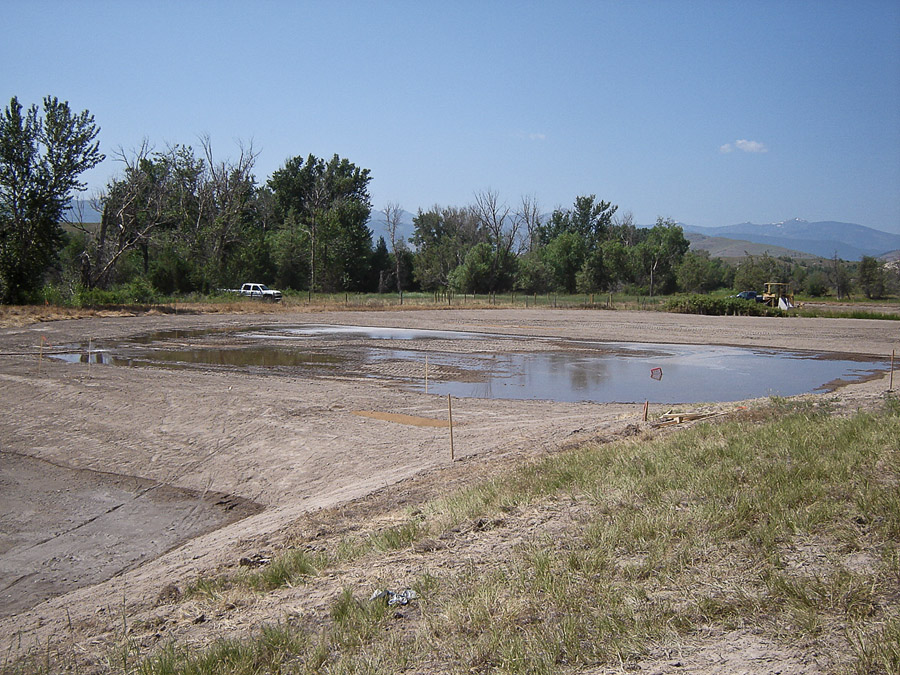
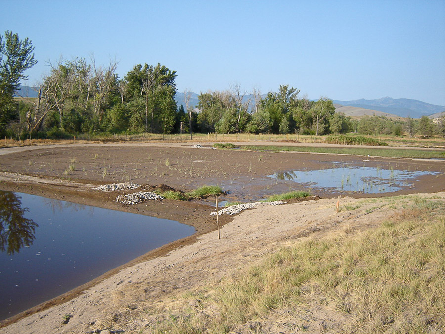
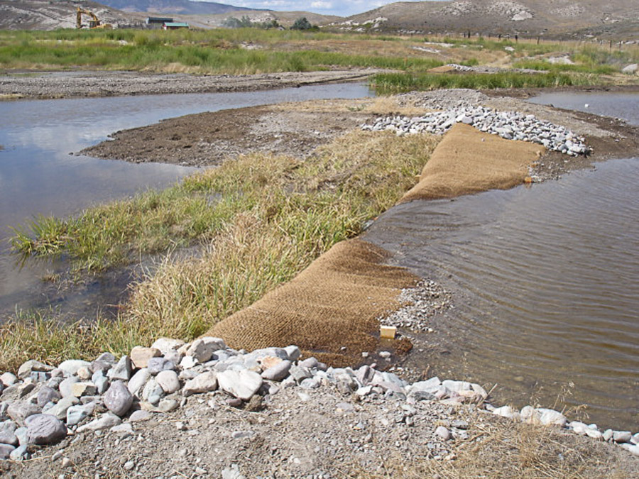
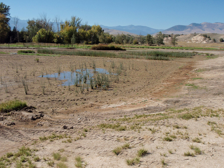
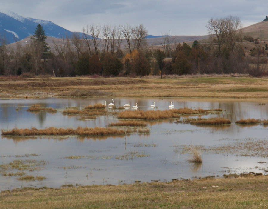
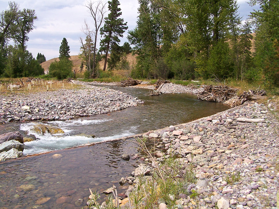
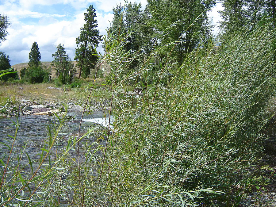
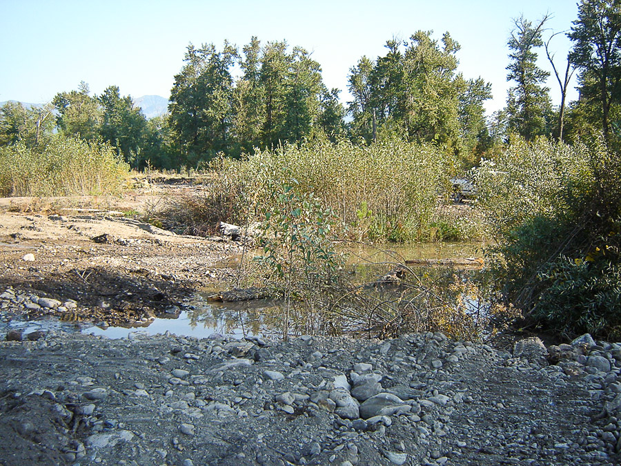
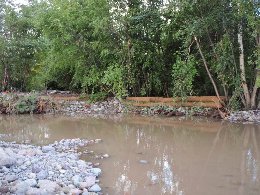
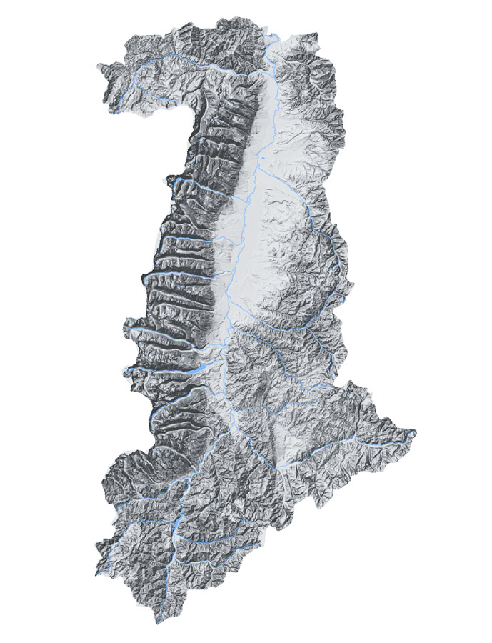
Between the 1930s and 1950s the lower Crooked River Valley was heavily impacted by dredge mining leaving behind large tailing piles and deep ponds throughout the valley bottom. These physical changes to the valley bottom altered stream and riparian processes, and have affected aquatic and terrestrial habitat conditions, resulting in degraded ecosystem conditions relative to historical conditions. The Nez Perce Tribe and U.S. Forest Service Nez Perce National Forest are leading efforts to improve ecosystem conditions in the South Fork Clearwater Subbasin and rehabilitation of the lower Crooked River Valley is part of that effort. Between 2012 and 2013, Geum teamed with River Design Group Inc. and TerraGraphics Environmental Engineering, Inc. to develop a restoration and rehabilitation design for the lower two miles of Crooked River. The desired future condition for the Lower Crooked River is a more natural landscape that maximizes ecological site potential by restoring native riparian plant communities, providing preferred habitat for native aquatic and terrestrial species, and by establishing sustainable river and floodplain morphology. Construction of the project has not yet started.

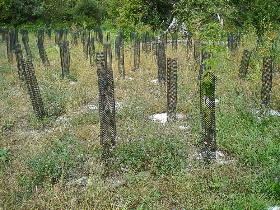
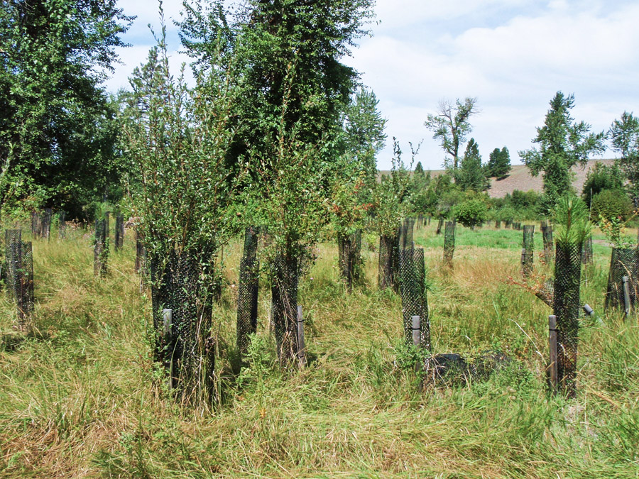
Services that Geum provided for the Crooked River Valley Rehabilitation project include:

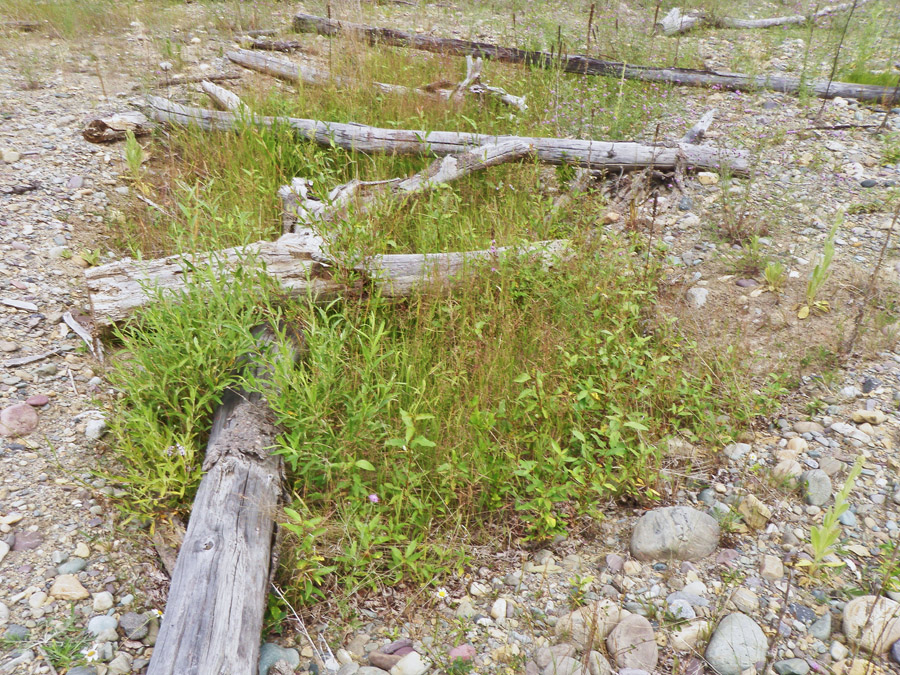
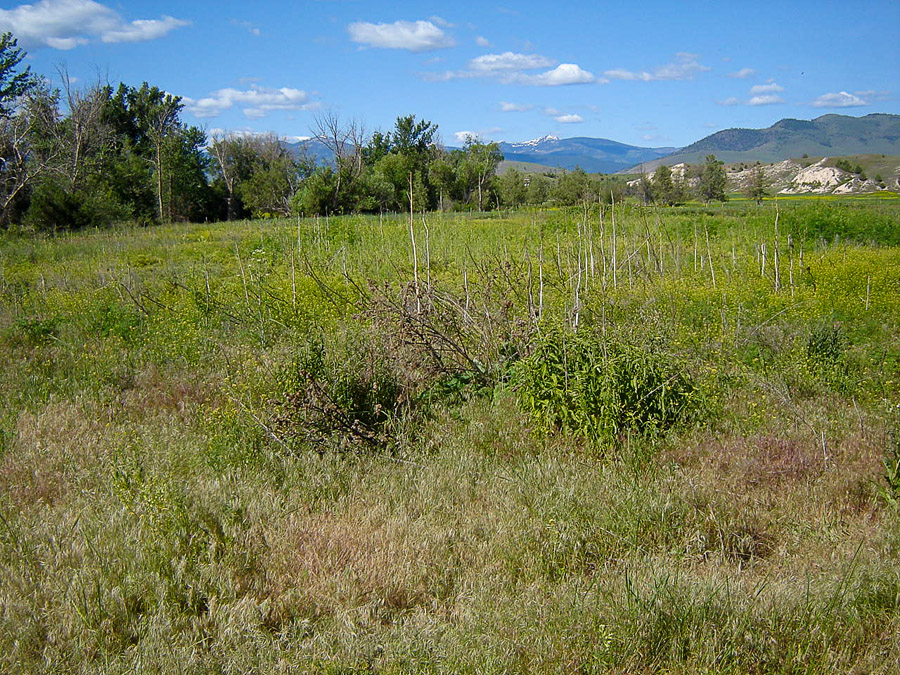
  • Vegetation community assessment including vegetation cross-section composition, greenline composition, and woody species regeneration
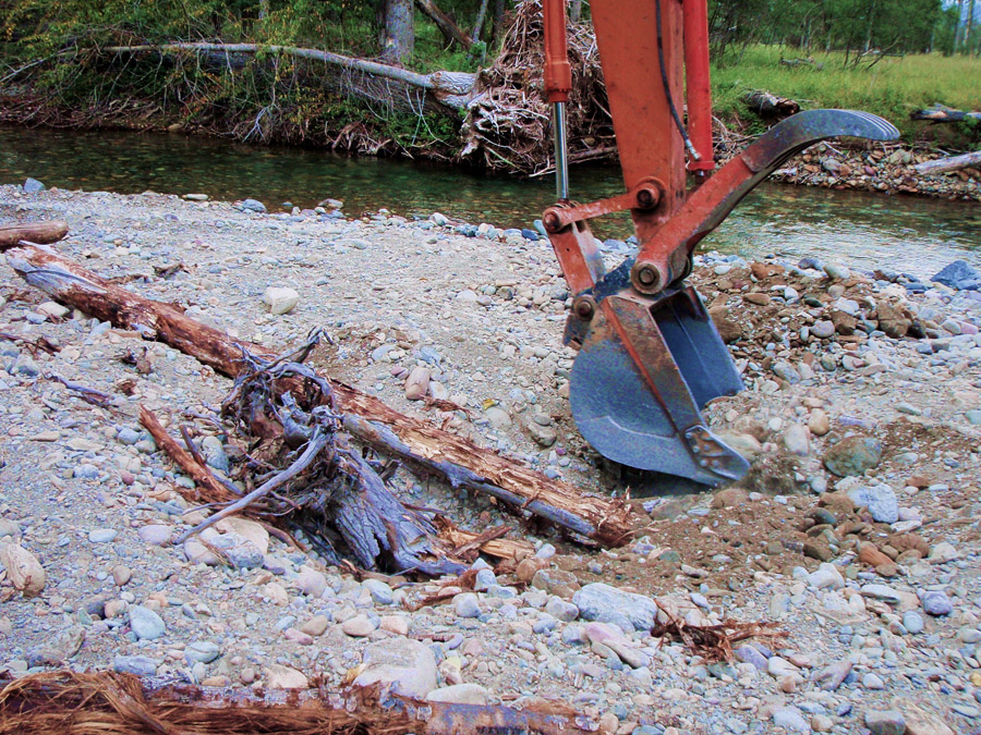
  • Native materials inventory and report
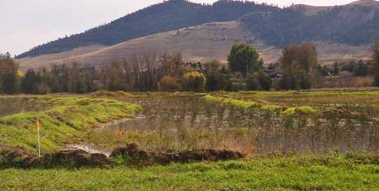
  • Wetland delineation and report to identify jurisdictional wetlands and support project permitting
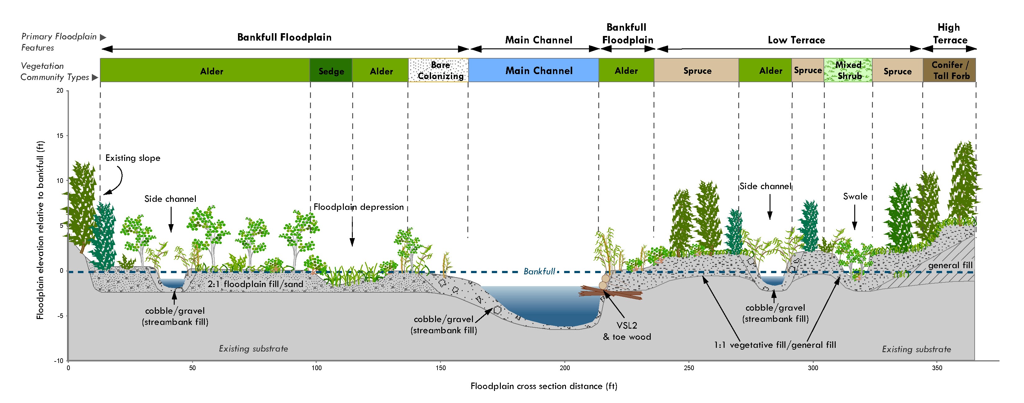
  • Floodplain, wetland, and riparian design criteria
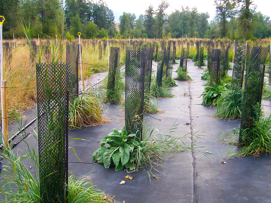
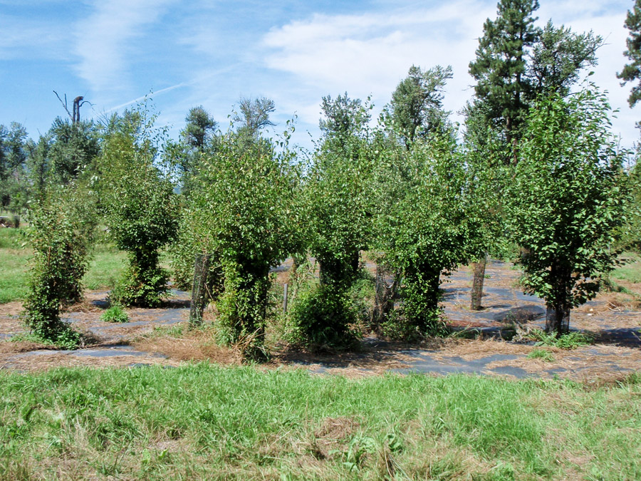
  • Revegetation treatment design
  • Developed several sections of a final design report, final design drawings, and technical specifications

Madison River Restoration – Madison Valley, MT

Project Summary

To help support its mission of protecting the unique Madison River and its high quality fishery, the Madison River Foundation contracted with Geum to develop a Riparian Restoration Master Plan to guide restoration opportunities along the river corridor. This document serves to guide management and restoration planning decisions with the vision of restoring and enhancing the river’s riparian, wetland, and aquatic habitats to promote ecological resilience for generations to come. The project area encompasses a 27.5 mile reach that extends from the US 87 bridge just downstream from Earthquake Lake to the Varney Bridge about eight miles upstream from Ennis.

Within the project reach Geum evaluated existing riparian vegetation communities and river geomorphology to understand limiting factors that can be addressed through restoration or management actions. Limiting factors within the project area include reduced floodplain connectivity, altered flow regime, livestock and wildlife impacts, recreation impacts, infrastructure and environmental conditions. A set of restoration strategies was developed to address the limiting factors and promote riparian ecosystem function. These strategies will be used to implement a series of restoration projects along the river corridor in the coming years.

The goals of the Riparian Restoration Master Plan are:

  • Increase riparian tree and shrub cover in areas where historical land management practices have reduced or eliminated riparian forests and shrublands
  • Provide more shade and cover for fish
  • Create a corridor along the river where the primary land management objective is supporting and maximizing natural river and floodplain ecosystem function
  • Restore a more normative hydrograph and natural sediment transport processes where feasible
  • Reconnect tributaries hydrologically by developing agreements to support instream flows during critical periods
  • Increase aquatic habitat complexity in areas of high ecological productivity such as tributary deltas
  • In general, increase biodiversity and habitat complexity to support long-term ecosystem resilience in the face of climate change and related phenomena such as droughts, high water temperatures, and other unforeseen threats

Ninemile Valley Restoration – Lolo National Forest, Montana

Project Summary

The Ninemile Creek watershed is located in the Middle Clark Fork River watershed approximately 20 miles west of Missoula, Montana. It is one of the most important native trout tributaries in the watershed and one of the most affected by mining impacts. Historical mining activities significantly altered the morphology and landscape of the upper Ninemile Creek valley, compromising the integrity of the river and ecosystem by simplifying aquatic habitat conditions, increasing stream energy, and reducing floodplain connection and function. The Ninemile Creek watershed has been a focal point of cooperative restoration efforts led by Trout Unlimited.

Geum has been part of a restoration design team that includes River Design Group, Trout Unlimited, and Lolo National Forest personnel, working on specific restoration projects along Ninemile Creek since 2011. In 2012, Geum completed a reach wide assessment of ecological site potential and worked closely with other partners to integrate that information with geomorphology and hydrology data to develop alternatives to guide restoration actions. To date, three phases of restoration have been implemented and design for future phases is on-going. Restoration activities include removal and grading of relic dredge piles, channel realignment and floodplain reconnection, aquatic habitat enhancement, and riparian and floodplain restoration. When possible the historical floodplain and terrace surfaces are incorporated into the design.

Services that Geum provides for the Ninemile Valley Restoration project include:

  • Collection of ecological site potential data and preparation of a Vegetation Data Summary Report
  • Development of an alternatives analysis to guide restoration actions in the project area
  • Collection of soils data to identify the historic floodplain surface
  • Development of floodplain and revegetation design criteria to restore natural floodplain processes
  • Development of construction bid package elements related to revegetation activities
  • Wetland delineation(s) and report(s) to support project permitting
  • Coordination and oversight of revegetation treatments

Pre restoration.

Post restoration floodplain.

Post restoration channel.

Mill Creek Reconnection – Pahsimeroi Valley, Idaho

Project Summary

Mill Creek flows across an alluvial fan and historically all streamflow was intercepted by a large irrigation diversion ditch resulting in complete disconnection from Big Creek (tributary to the Pahsimeroi River). The primary goal of this project was to restore connectivity between Mill Creek and Big Creek to increase late season flows in Big Creek and ultimately restore flows to a severely dewatered section of the Pahsimeroi River. The long-term goal is to have sufficient flow in Big Creek to allow wild steelhead to have access to prime spawning habitat. Mill Creek supports a population of genetically pure westslope cutthroat trout.

In 2014 and 2015, Geum Environmental Consulting, Inc. teamed with WestWater Consultants, Inc. to design and construct a stream reconnection project on Mill Creek for the Big Creek Ranches, LLC and Idaho Chapter of Trout Unlimited. The reconnection and restoration design included construction of almost 2,000 feet of new channel, plugging of relic overflow channels to concentrate flow into the main channel, construction of a siphon for the irrigation to convey irrigation water under the new channel, and revegetation of the new floodplain and streambanks. The project was completed in winter 2015 and Mill Creek is now connected to Big Creek for the first time in a century. Mill Creek has conveyed surface water to Big Creek year-round since project completion.

Services that Geum provided for the Mill Creek Reconnection Project include:

  • Wetland delineation and report to support project permitting
  • Geomorphic and ecological site assessments to support restoration design
  • Coordination and data collection for hydrology analysis
  • Coordination of survey data collection and generation of terrain surfaces using ArcGIS
  • Channel design in ArcGIS using field and design inputs
  • Developed an 80% bid package and contractor support documents
  • Provided construction oversight

New channel across valley floor.

Late season flows near mouth.

Siphon.

Design plan.

Clark Fork River Remediation – Warm Springs to Garrison, Montana

Project Summary

Heavy metals originating from historic mining activities, milling, and smelting processes associated with the Anaconda Company operations in Butte and Anaconda have accumulated in the Clark Fork River bed, banks and floodplain over a period of at least 100 years resulting in the site being designated as a National Superfund Site (Clark Fork River Operable Unit of the Milltown Reservoir/Clark Fork River Superfund Site). The Montana Department of Environmental Quality, Environmental Protection Agency, and Natural Resource Damage Program are managing remediation of the Clark Fork site.Geum is part of the Clark Fork River Design Team and serves as the Department of Environmental Quality’s (DEQ) Revegetation Consultant. As part of various design teams, Geum works closely with other team members including engineers, geomorphologists, and other State agencies as well as local landowners to develop floodplain remediation plans that address environmental health and safety concerns as well as objectives to provide floodplain stability and support riparian ecological processes. During construction, Geum works with project engineers and construction managers to ensure that project design intent is carried through in floodplain grading to support vegetation efforts and streambank treatments. Geum also coordinates plant material propagation and oversees revegetation implementation. Geum also leads development of monitoring plans and the adaptive management process to evaluate project performance.

Services that Geum provides for the Clark Fork River Remediation project include:

  • Mapping and assessment of existing vegetation communities
  • Support development of Preliminary Design Plan for each phase including participating in public outreach
  • Coordination of plant propagation
  • Development of floodplain grading to support natural floodplain processes to support desired vegetation communities
  • Development of streambank treatments
  • Development of detailed revegetation plans
  • Development of construction bid package elements related to streambank and floodplain treatments
  • Construction oversight support for streambanks and floodplain treatments
  • Preparation of solicitation documents and coordination and oversight of revegetation plans
  • Development of reach-wide and phase specific monitoring plans and coordination of an adaptive management monitoring process to evaluate project performance and maintenance needs

Project under construction.

Wimpey Creek Restoration – Lemhi County, Idaho

Project Summary

Wimpey Creek is a tributary to the Lemhi River, located near Salmon, Idaho. Wimpey Creek has been subject to numerous past and on-going disturbances including clearing of vegetation for agriculture, grazing, land development and diversion of water that has led to degraded aquatic habitat. Trout Unlimited is working with several other partners to restore aquatic habitat in the Lemhi River and tributaries. Wimpey Creek historically supported spawning and rearing for steelhead, spring/summer Chinook, and bull trout and Trout Unlimited would like to restore habitat for those species.
Geum teamed with River Design Group, Inc. to develop a restoration design for a one-mile segment of Wimpey Creek near the confluence with the Lemhi River. The desired future condition for the project area maximizes ecological site potential by restoring native plant communities, providing preferred habitat for listed fish species, and establishing sustainable stream and floodplain morphology in the context of existing constraints. Design elements include: channel realignment, floodplain reconnection, streambank revegetation, and installation of large woody debris habitat structures. The restoration design for Wimpey Creek was completed in winter 2016 and restoration work is scheduled to take place in fall 2017.

Services that Geum provides for the Wimpey Creek Restoration project include:

  • Coordination of LiDAR data acquisition for the project area
  • Collection of ecological and aquatic habitat data to support restoration design
  • Coordination and support for geomorphic and hydrologic data collection to support restoration design
  • Development of a conceptual design report to document existing conditions and provide restoration design alternatives
  • Development of a 30% level design to support project coordination and funding
  • Wetland delineation and report to support permitting
  • Development of an 80% level design to support project permitting and contracting

Pre-project condition.


Pre-project condition.

Shiloh Conservation Area – Billings, Montana

Project Summary

Geum worked as a subcontractor to DOWL, LLC to help design wetlands within the Shiloh Conservation Area (SCA) on 70 acres of land owned by the City of Billings. The project was completed in the fall of 2014. The goals of this project included:

  • Treat stormwater from upstream agricultural lands and runoff from new developments
  • Provide flood attenuation during large storm events
  • Provide a recreational area for the City’s residents as the City expands

Geum designed wetlands for water quality improvement, including planting plans, grading plans, and substrate types. Geum also prepared the Joint Application for relevant permits (MT SPA 124, Clean Water Act Section 404 Permit and 401 Certification, and MT 318 Authorization). Geum also provided construction oversight for wetland construction and wetland planting.

Project Significance

The SCA provides a unique opportunity to evaluate new techniques for stormwater management in Montana. To address water quality and flood attenuation, the site includes several features such as sediment ponds, detention ponds with wetland fringes, and wetland cells. Wetlands have been divided into three planting zones relative to water depth. Native species range from those that prefer deeper waters such as hardstem bulrush (Schoenoplectus acutus) and softstem bulrush (Schoenoplectus tabernmontani) to those that prefer shallow waters and/or moist soils such as common spikerush (Eleocharis palustris) and Arctic rush (Juncus arcticus). The seven wetlands include deeper cells encouraging biouptake processes and shallower cells with a gravel lining to encourage microbial activity. Native woody vegetation such as Bebb willow (Salix bebbiana) and Red-osier dogwood (Cornus sericea) is strategically placed around water bodies to decrease temperatures, potentially decrease browse from geese and create habitat. The site design incorporates a water control system that allows for fine-tuned control of flows and water surface elevations in all water bodies and wetlands. The entire site can be drained for maintenance purposes, or can be used to store water during large flow events. Additionally, water control allows the option to drain wetlands to discourage organic matter build up and monoculture development. Several water quality sampling access points have also been incorporated to allow easy and frequent monitoring.

Milltown dam restoration on clark fork river montana

Milltown Dam Restoration – Bonner, Montana

Milltown dam restoration on clark fork river montana

Project Summary

Geum Environmental Consulting, Inc. is part of the Restoration Team (including River Design Group and Westwater Consultants) that developed a river and floodplain restoration plan, working closely with the Department of Justice, Natural Resource Damage Program, for the Clark Fork River near the former Milltown Dam site east of Missoula, Montana. The primary elements of restoration planning and design completed by Geum included:

  1. Developing desired future vegetation conditions (cover types) for the floodplain
  2. Linking vegetation cover types to geomorphic surfaces and grading criteria
  3. Developing a range of revegetation strategies and treatments aimed at achieving the desired future condition
  4. Developing streambank bioengineering treatments
  5. Supporting development of plan sets and bid packages

Geum coordinated plant material propagation for the project and planned and oversaw revegetation implementation. Geum continues to plan and coordinate weed control activities and coordinates revegetation effectiveness monitoring.

Grave Creek Restoration – Eureka, Montana

Project Summary

Geum Environmental Consulting, Inc. designed and implemented a multi-phase riparian revegetation and monitoring plan for a one-mile long reach of Grave Creek located near Eureka, Montana for the Kootenai River Network and Montana Fish, Wildlife and Parks.

This revegetation plan is associated with a channel restoration project completed by the Kootenai River Network and River Design Group of Whitefish, Montana. Geum has worked closely with hydrologists at River Design Group and other project partners since 2005 to determine revegetation priorities, implement revegetation treatments, monitor treatment effectiveness and adapt treatments based on the results of monitoring. Revegetation treatments were designed specifically to address riparian revegetation limiting factors on Grave Creek.

View Project Reports

Factors limiting riparian vegetation goals for the project reach include:

  • Intense browse pressure resulting in a lack of structurally diverse plant communities and limiting natural recruitment of woody vegetation
  • Streambank, floodplain, and channel instability resulting in lack of stable areas suitable for the establishment of desired plant communities
  • Competition from weed species
  • Lack of floodplain microtopography resulting in limited microsites for seed recruitment and establishment

Treatments implemented between 2005 and 2010 to address these limiting factors have included:

  • Construction of an eight strand slant rail electric fence along the upper portion of the reach to limit browse by cattle, deer and other ungulates.
  • Bioengineering treatments such as vegetated soil lifts, coir log fascines, and buried willow fascines to create stable areas for streambank and floodplain woody vegetation to establish.
  • Construction of floodplain swales, large woody debris piles, and floodplain grading to restore connectivity between the channel and floodplain and create protective sites for seed to be trapped and establish.
  • Installation of container plants within constructed floodplain swales and on select floodplain benches.
  • Seeding of constructed swales and floodplain surfaces using a diverse native grass, forb and shrub seed mix.
  • Integrated weed management.

Coleman Coulee and Moiese Wasteway Constructed Wetlands – Moiese, Montana

Project Summary

The Confederated Salish and Kootenai Tribes are addressing impacts from nutrient and sediment inputs from Coleman Coulee and Moiese Wasteway irrigation return flows by constructing a series of treatment wetlands. Geum Environmental Consulting, Inc. designed the treatment wetlands and assisted with construction oversight of wetland grading and installation of the wetland plants.

Coleman Coulee is a natural drainage-way that also conveys irrigation return flows into Mission Creek, a tributary of the Flathead River. The Moiese Wasteway conveys irrigation return flows through a natural ephemeral drainage. Both Coleman Coulee and the Moiese Wasteway contribute sediment and nutrients into Mission Creek and ultimately the Flathead River. Phase I of the constructed wetland project in 2008 focused on treating flows from Coleman Coulee by creating approximately 5 acres of wetland. Phase II of the project in 2010 focused on treating flows from the Moiese Wasteway by creating approximately 11 acres of wetland.

In both project areas, wetland complexes were constructed by creating connected cells that fit the natural topography. Drop structures between wetland cells were constructed using bioengineering materials, and are intended to become partially vegetated over time.

Wetland

A diverse mix of sedges, rushes, and bulrushes in the form of herbaceous plugs, prevegetated coir mats, and containerized plants; were installed throughout the wetland cells in both project areas to encourage quick establishment of dense wetland vegetation.

Once fully vegetated, these wetland cells will help filter and retain sediments and nutrients by slowing water velocities, thereby allowing sediments to drop out of the water, and increasing water retention time and evapotranspiration rates as water is routed through the series of wetland cells.

The Confederated Salish and Kootenai Tribes are monitoring water quality at both wetland sites. In addition to the expected improved water quality effects in the area, the wetlands are also providing habitat for migratory birds and waterfowl.

Jocko River Master Plan and Restoration – Arlee, Montana

Project Summary

Geum Environmental Consulting, Inc. assisted the Confederated Salish and Kootenai Tribes in developing the Jocko River Master Plan, the Tribes’ guiding document for restoration planning in the Jocko watershed. The document includes input from a wide array of disciplines including hydrology, geomorphology, fisheries, botany, ecology, and others. The Jocko River Master Plan describes the historical, existing, and desired future condition of the Jocko watershed and uses this information to set restoration project priorities and determine appropriate restoration actions in the Jocko watershed. The document also includes descriptions of a suite of restoration techniques for various channel types, streambanks and floodplains. The Jocko River Master Plan adopts an adaptive management approach to restoration where monitoring results and lessons learned are studied and applied to new restoration projects.

The Jocko River Master Plan is available at Jocko River Restoration Project (csktnrd.org).

Demonstration Reach Project

The Demonstration Reach project near Arlee, Montana was the first restoration project in the Jocko watershed completed by the Confederated Salish and Kootenai Tribes using strategies and priorities from the Jocko River Master Plan. Phase I of the Demonstration Reach project area was constructed in 2004. Phase II of the Demonstration Reach was constructed in 2008, and incorporated lessons learned from the Demonstration Reach Phase I and other restoration projects in the Jocko watershed.

Geum Environmental Consulting, Inc. developed detailed revegetation plans for these restoration projects that integrated with channel re-alignment and floodplain designs developed by WestWater Consultants and River Design Group, in cooperation with the Confederated Salish and Kootenai Tribes. For both Phase I and Phase II of the Demonstration Reach projects, goals included:

  1. Reverse the trend of channel incision,
  2. Re-establish the connection between the active channel and the historical floodplain, and
  3. Restore native plant communities to riparian and floodplain areas.

Restoration Strategies for Phases I and II included:

  • Channel reconstruction to an appropriate stream type at the historical floodplain elevation
  • Temporary stabilization of the new channel using structures to mimic natural channel features
  • Streambank bioengineering to allow vegetation to establish on high shear stress streambanks
  • Restoration of floodplain roughness and structural complexity
  • Restoration of native plant communities in the floodplain, along streambanks, and in off-channel wetlands
  • Control of weeds and invasive plant species

Bitterroot Subbasin Plan – Bitterroot Valley, Montana

Project Summary

The Montana Water Trust, Bitter Root Water Forum, Geum Environmental Consulting, Inc., and Will McDowell worked together to complete the Bitterroot River Subbasin Plan for Fish and Wildlife Conservation. Many local partners also participated in developing and reviewing the Subbasin Plan. The Bitterroot River Subbasin Plan consists of three parts:

  1. Subbasin Assessment
  2. Subbasin Inventory
  3. Subbasin Management Plan.

The Plan has been accepted by the Northwest Power and Conservation Council and the Bonneville Power Administration and adopted into the Council’s Fish and Wildlife Program. Geum is currently working with a large group of organizations to help determine the next steps for conservation planning in the Bitterroot subbasin.

Read the Bitterroot River Subbasin Plan for Fish and Wildlife Conservation at the Northwest Power and Conservation Council website